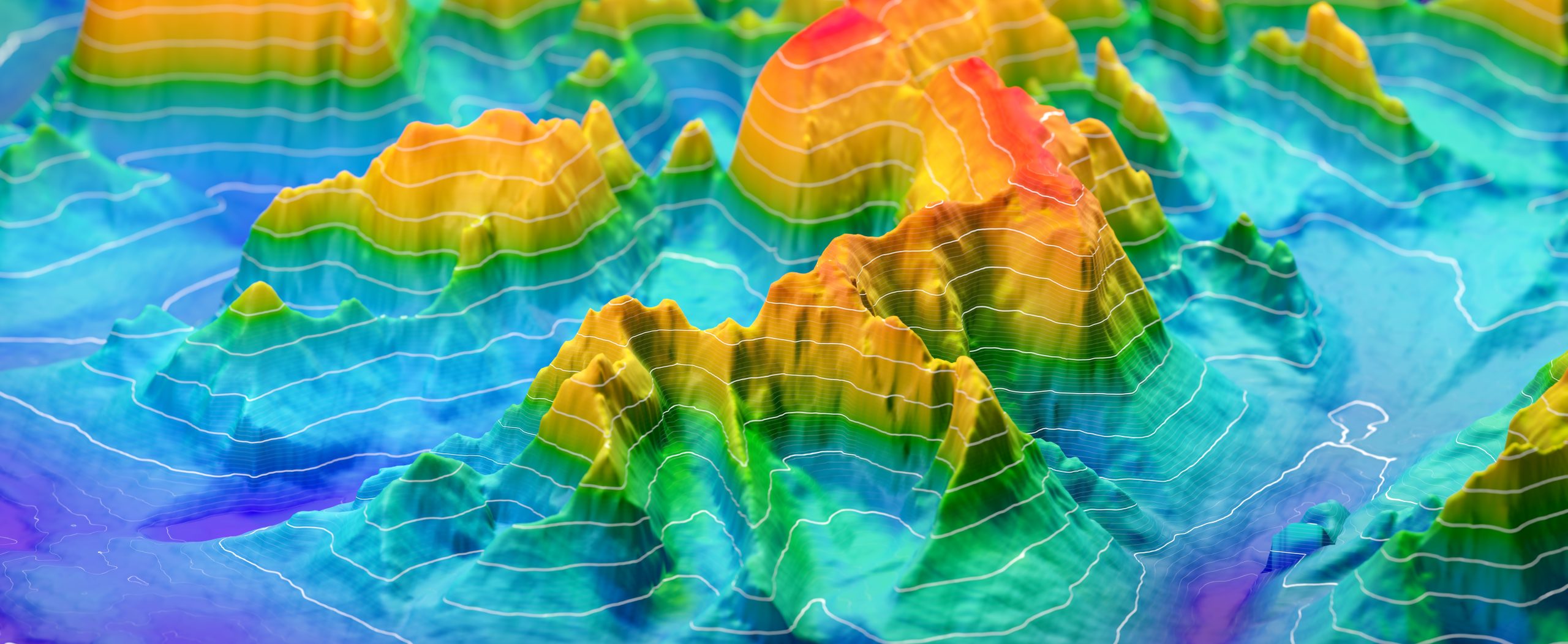
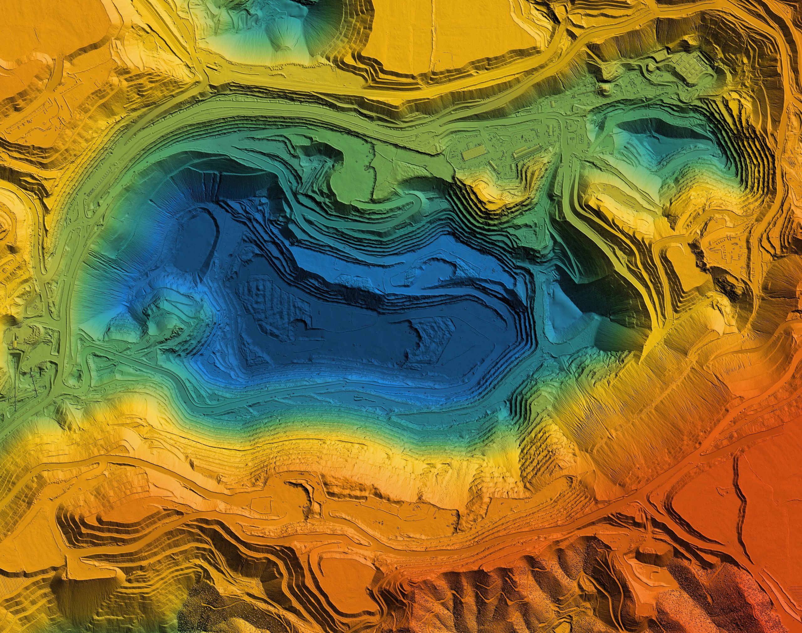
Topography and geodesy
We offer the full range of topography & mapping services. We produce topographical surveys with an ability to create accurate, high-resolution contours maps. Our services include, but are not limited to:- Aerial & UAV mapping with LiDAR technology (DJI Matrice 600 PRO with installed LIDAR system);
- Topographical surveys and mapping in various scales (1: 500 – 1: 10 000); 10 000)
- As built surveys;
- Volumetric calculations for mining reports (amount of material moved to or from a site);
- Boundary Surveys;
- Cartographic and GIS-projects;
- 3D modelling;